GNSS
High-precision alignment
Work smarter with the help of GNSS
Equip your application with our complete packages for improved project control and increased accuracy.

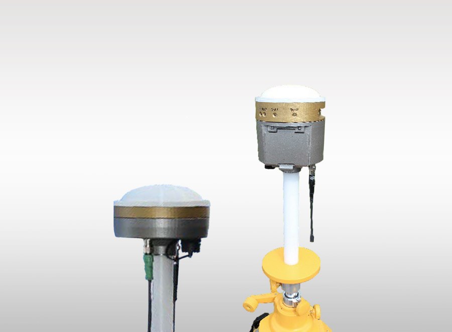
GNSS Level / Elevation System
An elevation reference system with base/rover functionality. The base unit is placed at a known height, and the rover is mounted at the top of the feed on the drilling rig.
Explore product

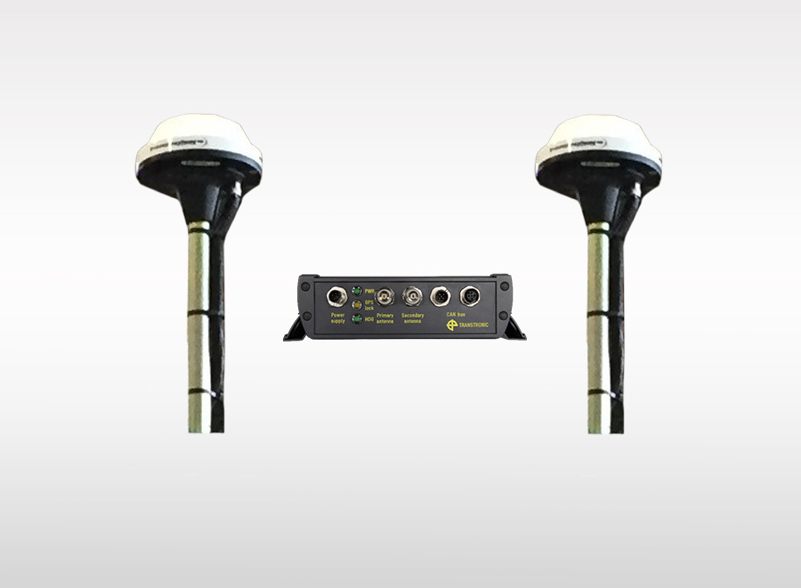
GNSS / GPS Compass
The GNSS compass uses satellites to determine the direction of the drilling rig with high accuracy. It replaces the sight on the CMI Bench instrument.
Explore product
Do you have a question for us?
Reach out to one of our experts and get the answers you need.


 Request a quote


